
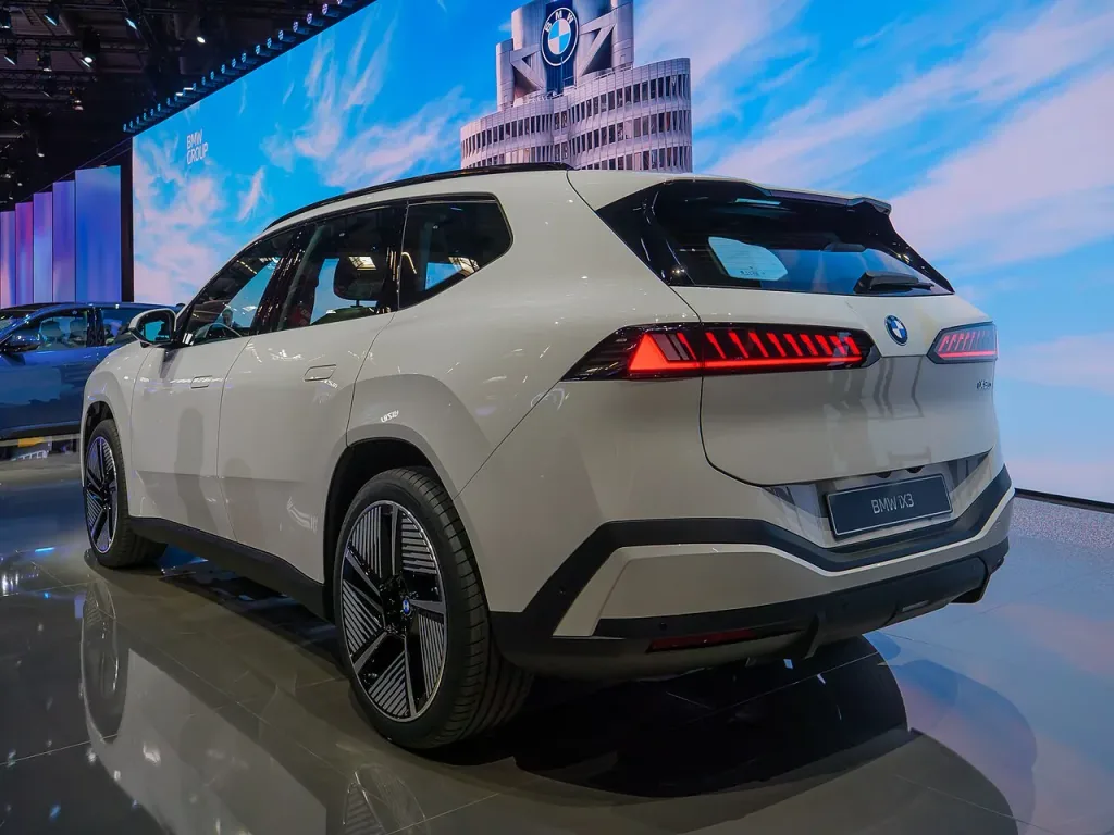
The new look of BMW Maps combines route guidance and driving assistance information on a single three-dimensional screen. The feature, available for vehicles with BMW Operating System X as of October 2026, allows the driver to monitor how the vehicle perceives its environment.
His own car is shown on the map at the correct lane and road level. Routing information at intersections, multi-level roads and motorway connections is placed in the same image as the tasks currently undertaken by the support systems.
BMW is developing the project with Mapbox's mapping technology. The statement also plans to expand navigation-guided semi-automatic city driving in Germany from 2027. It would not be right to assume that this next step can be used in all markets at the same time with existing features.

Comments
Loading comments…